New wings
The Mavic 3Es are getting a well-earned rest – we are very happy to introduce you to our new fleet!
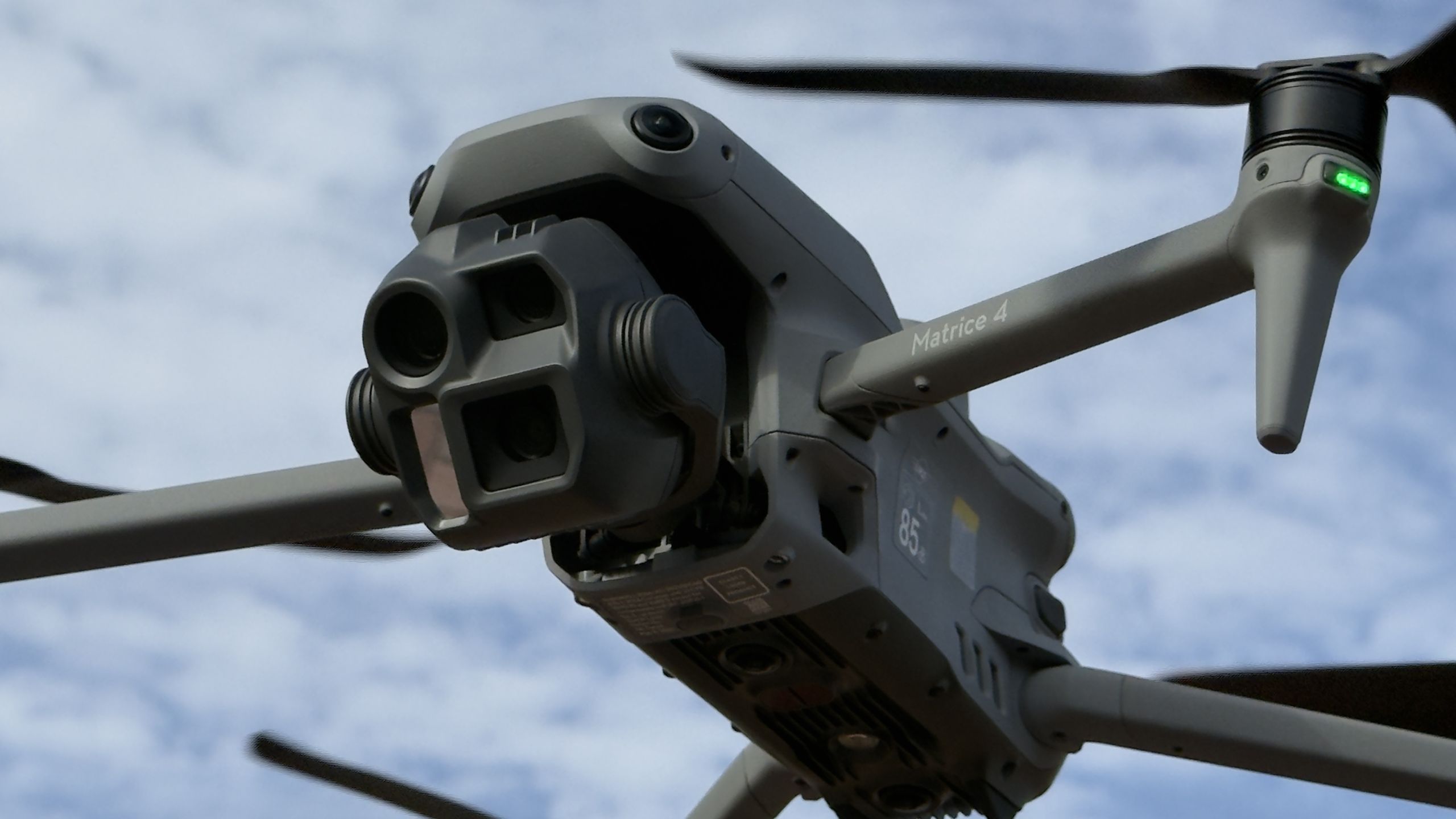
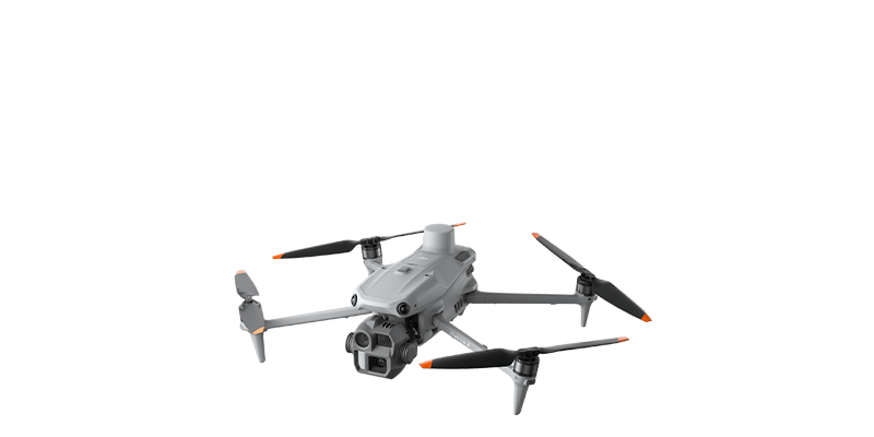
Some announcements deserve a bit of ceremony, and this is one of them: we’ve upgraded our entire fleet to the DJI Matrice 4E.
First, a moment for the outgoing aircraft. Our Mavic 3 Enterprises have been absolute workhorses, each covering over a 700 sites a year, coping with the intricacies of British weather, baking summer sites, icy winter mornings and more 6am starts than we care to count. They never once let us down. They’ve earned their retirement, and they’ll be staying on as reserve aircraft rather than gathering dust.

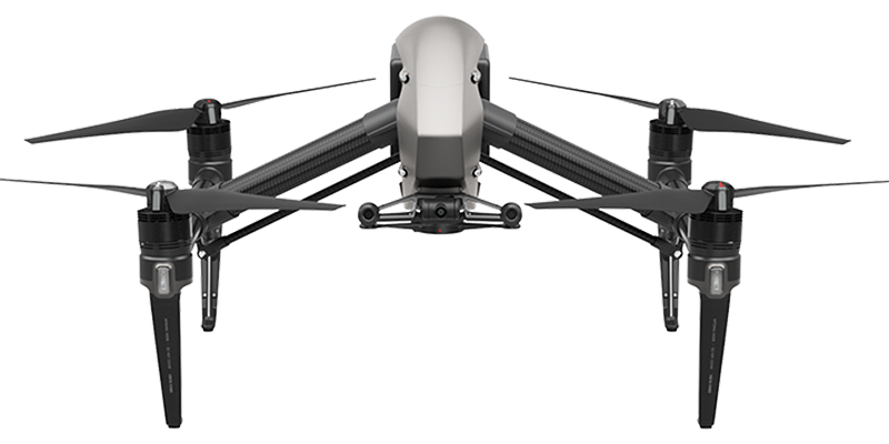
DJI Inspire
Where it all began

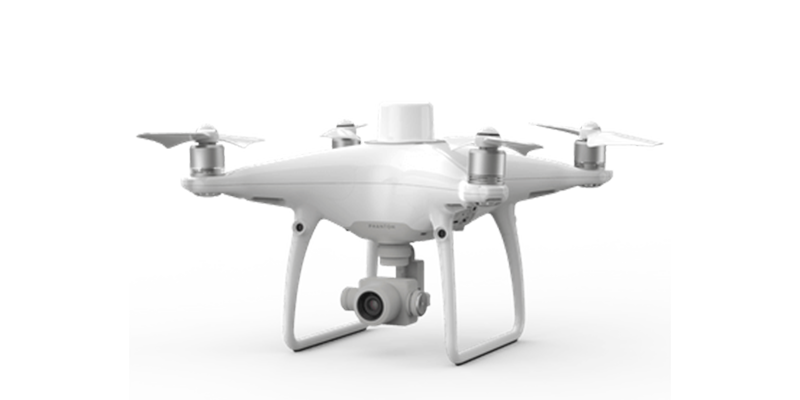
Phantom 4 RTK
The one that made drones survey instruments

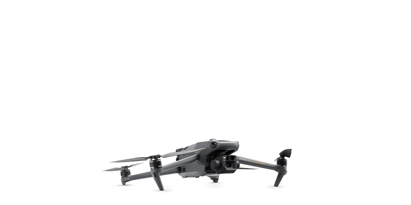
Mavic 3E RTK
Workhorse. Never missed a beat.

Matrice 4E RTK
The new era
The Inspire started it all — the aircraft we learned our trade on. The Phantom 4 RTK was the one that really put centimetre accuracy for surveys in a backpack. The Mavic 3E RTK shrank all of that into something we could launch from a lay-by. And now the Matrice 4E takes the baton.
And what an aircraft it is.
It stays up for 49 minutes on a battery – long enough that we’re usually the ones who need the break, not the drone. Its RTK positioning is accurate to the centimetre, straight out of the case.
It’s also the smartest thing we’ve ever flown. It sees obstacles in every direction, follows terrain like it’s reading the map itself, and keeps flying confidently in the murky, blustery, distinctly British conditions that ground lesser aircraft. DJI built this one specifically for surveying and mapping – it’s not a camera drone with a day job, it’s the real thing.
So: new fleet, same pilots, same slightly obsessive attention to detail. The Mavic 3Es have set a high bar for the newcomers to beat, and they are already living up to the challenge!
I have worked with DRONE SURVEYING for some years now, from checking a boundary of new land to auditing earthworks. The use of drones on our sites is now standard; we monitor progress and calculate cut and fill via the online software as our sites progress.
The use of regular mass data collection and the latest drone technology and practises will without doubt save us time and money on our sites.
We use DRONE SURVEYING on all of our sites to support our cut and fill strategy, with regular surveys and their cutting-edge software, we are able to manage our sites much more effectively.
Having now worked with DRONE SURVEYING engineering solutions for a number of years, their services have proven to be invaluable conducting our volumetric surveys, progress videos and cut and fill support. The drone data platform has allowed us to get the best from the data with full support and training provided from the DS team
The drone data helps us to make quicker and smarter key decisions to ensure we have budget and time control on our projects. Having monthly surveys on our sites ensures we keep full control of all earth movements.
Using aerial imagery from drone surveys helps us anticipate errors or mistakes in the next stage of development instead of waiting for work to start on the ground. This proactive approach has saved us hundreds of thousands of pounds; a reactive approach can be costly
DRONE SURVEYING’s nine-strong team includes specialist drone operators based in the North, Midlands, South-West and South-East enabling us to survey construction sites across the country, often at short notice. We are fully compliant with the regulations set by the Civil Aviation Authority (CAA) and are in regular contact with them to ensure safe and legal operations.
Our team includes experts who are available to provide ongoing support to assist you in analysing and interpreting the survey data to make informed decisions for your project, often acting as an extension to your in-house team.


